
1.Realistic setting out with just one shot2.Super Inertial Navigation, Senseless Correction
3.5-star 21 frequency, 1598 channels, strong signal
4.300000 fast charging, 18 hour battery life
5.New SOC chip, fixed in seconds upon startup
6.Layout Cloud Collaboration, Integrating Internal and External Business
7.New enhanced RTK algorithm to resist ionospheric interference
8.National permanent cors account service
9.Pocket body, featuring the industry's first 'cloud measurement'
10.3 years of free traffic, connected immediately upon startup

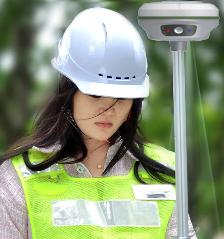
A Visual STAKING OUT Tool For A Novice SANDING T12 Rover Visual RTK GPS Receiver
Price:
$3,800.00
MOQ:
1 piece
Delivery Time:
30 work day
Brand:
SANDING
Product Description
A Visual STAKING OUT Tool For A Novice SANDING T12 Rover Visual RTK GPS Receiver
Overview
Products Descriptin
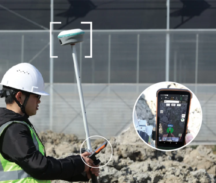
T12 real scene lofting rtk
New generation versatile H6 handbook
7 major software sharing, H6 empowers more applications. Interconnection between software, one click data retrieval/processing.
While strengthening the core of surveying and mapping, it is easy to connect with various industry applications.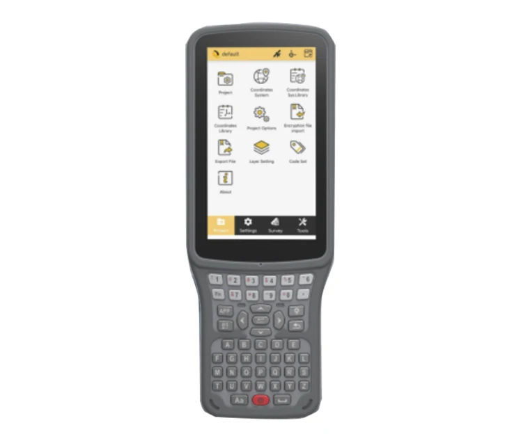
Realistic layout, effortless operation, and increased efficiency and speed
1. Real time lofting RTK operation, real-time calculation of the position of lofting points in the video stream, farewell to the
compass, efficient operation, and one step faster lofting
compass, efficient operation, and one step faster lofting
2. Effective integration of inertial navigation technology and visual
computing, combined with real-time attitude calculation, dynamic indication of lofting route, precise display, no need for
alignment, one shot in place
computing, combined with real-time attitude calculation, dynamic indication of lofting route, precise display, no need for
alignment, one shot in place
Fixed power on seconds, work cloud collaboration
Cloud collaboration, which is based on cloud sharing technology, enables data linkage processing between RTK Collection Software
Engineering Star and Sanding Geographic Information Mapping Software SMAP, achieving integrated internal and external operations.
It subverts the previous independent operation mode of separating internal and external businesses, and through the fully
independent integration, standardization, and closed-loop product ecosystem of Sanding, enables internal and external operation
cloud collaboration. Both individual and group assignments are more efficient and convenient, creating a new model for RTK
assignments
Technical Parameters
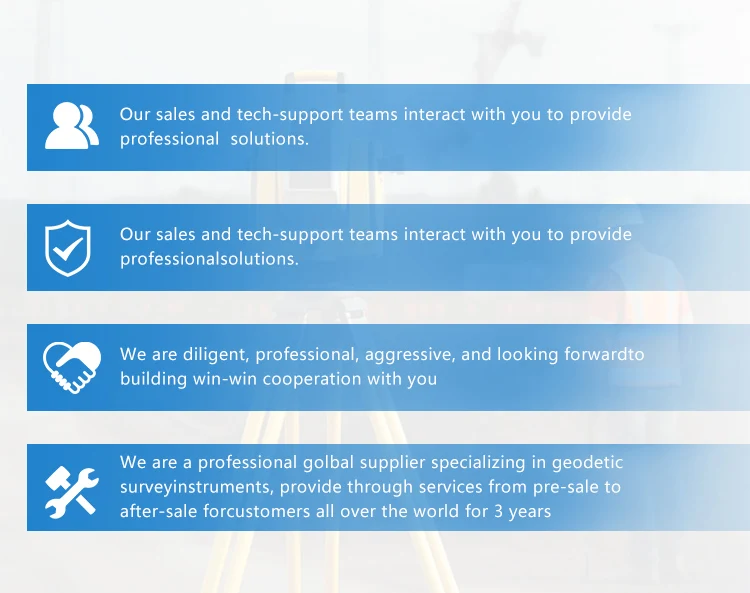
Why Choose Us
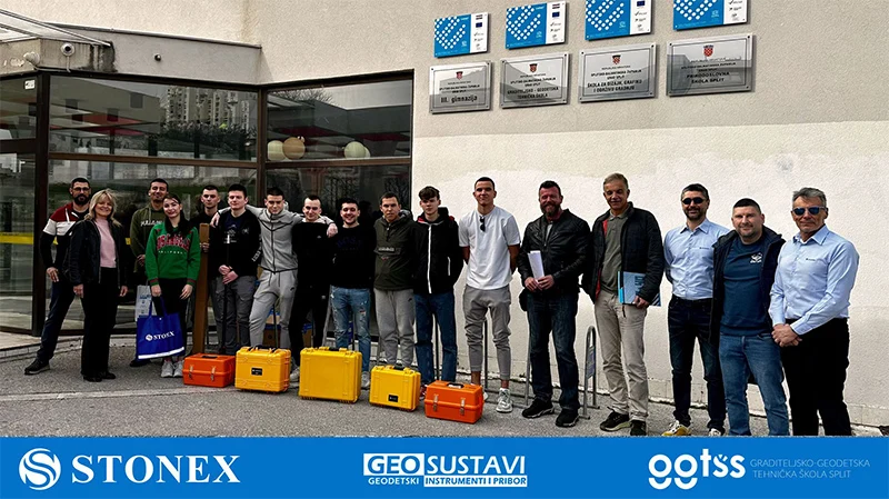
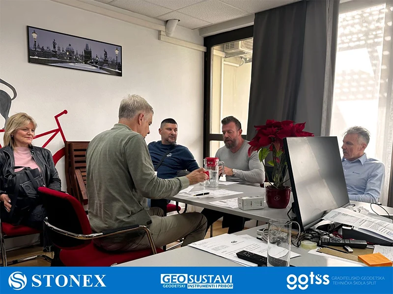
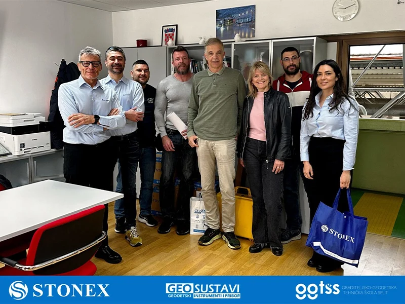
GEODETSKOJ ŠKOLI SPLIT isporučujemo STONEX totalne stanice, teodolite i GNSS prijemnike
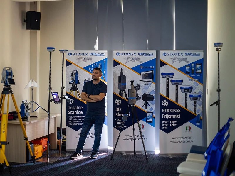
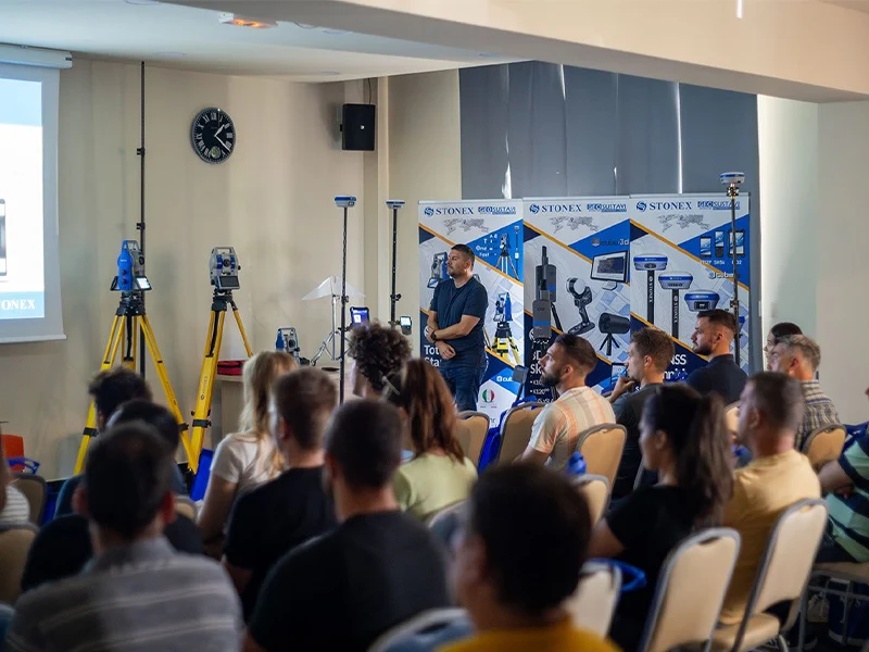
Geodetske škole imaju ključnu ulogu u pružanju učenicima potrebnog znanja i vještina u području geodezije.Integracija najnovijih
geodetskih instrumenata u takve obrazovne ustanové može značajno poboljšati iskustvo učenika i bolje ih pripremiti za primjenu u
stvarnom svijetu.Najnoviji geodetski instrumenti nude napredne značajke i mogućnosti koje mogu pružiti studentima intenzivnije
iskustvo učenja.Korištenjem ovih instrumenata, studenti mogu steći praktično iskustvo u prikupljanju podataka, analizi itumačenju, što su ključne vještine u području geodezije.
U suradnji sa STONEX S.r.l. Italija, geodetskoj školi u Splitu isporučili smo najnovije totalne stanice, teodolite i GNSS prijemnike.
Customer Photos
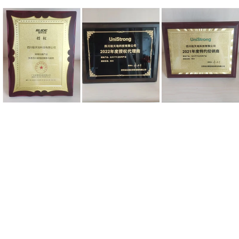
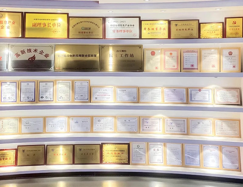
Certifications
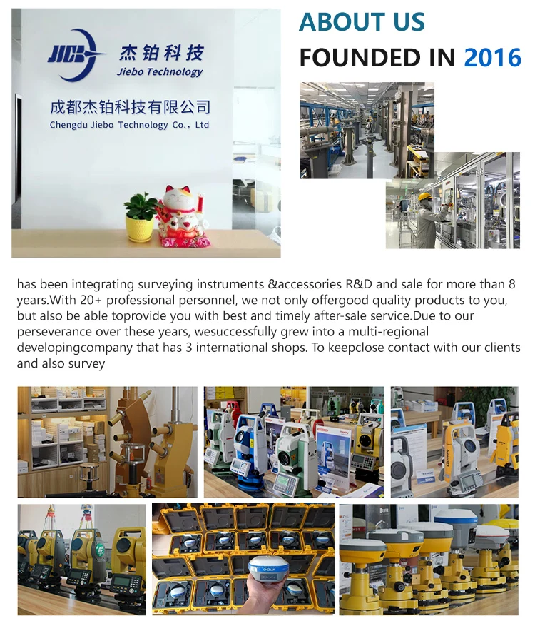
Company Profile
FAQ
1. who are we?
We are based in sichuan, China, start from 2016,sell to Africa(30.00%),Southeast Asia(16.00%),Mid East(11.00%),Eastern
Asia(10.00%),South America(10.00%),Central America(5.00%),South Asia(5.00%),Southern Europe(5.00%),North America(4.00%),Eastern
Europe(4.00%). There are total about 11-20 people in our office.
2. how can we guarantee quality?
Always a pre-production sample before mass production;
Always final Inspection before shipment;
3.what can you buy from us?
GNSS RTK,Total station,Level,Survey accessory,laser rangefinder
4. why should you buy from us not from other suppliers?
1.More than 20 years of experience in the trade field. 2.All products will have been strictly quality checked in factory before
sending out and all products have one year warranty.
5. what services can we provide?
Accepted Delivery Terms: FOB,CFR,CIF,EXW,FAS,CIP,FCA,CPT,DEQ,DDP,DDU,Express Delivery,DAF,DES;
Accepted Payment Currency:USD,EUR,JPY,CAD,AUD,HKD,GBP,CNY,CHF;
Accepted Payment Type: T/T,L/C,D/P D/A,MoneyGram,Credit Card,PayPal,Western Union,Cash,Escrow;
Language Spoken:English,Chinese,Spanish,Japanese,Portuguese,German,Arabic,French,Russian,Korean,Hindi,Italian
Our Service
Packing & Delivery

Similar Products
Get in Touch
Have questions about our products or want to discuss a custom order? Our team is ready to help you.
Company
Chengdu Jiebo Technology Co., Ltd.
Location
China Sichuan Chengdu No. 47, North 1st Section, Second Ring Road, Jinniu District
Contact Person
Lili Zhou