
AGS 302 GNSS/INS System with 0.05m Position Accuracy and 200Hz Update Rate for UAV Laser Scanning
Price:
Negotiation
MOQ:
1
Delivery Time:
5-10 Working Days Since Payment
Brand:
Geosun
Product Description
High-Precision GNSS/INS System with Integrated Laser Sensors
The AGS 302 (301/303) series integrates high-precision inertial navigation (IMU) modules with laser sensors to deliver exceptional positioning accuracy for UAV aerial remote sensing applications. Regardless of fuselage tilt during flight, the system provides precise position, velocity, and 3D attitude information.
Key Performance Features
- Position accuracy: 0.05 meters
- Velocity accuracy: 0.02 m/s
- Heading accuracy: 0.040 degrees
- Pitch/roll accuracy: 0.015 degrees
- Data sampling rate: 200Hz
- Real-time GNSS differential positioning (RTK)
- UHF radio and 3G communication support
- Working range up to 5 km
Technical Specifications
| Model | Update Frequency | Heading Accuracy | Pitch/Roll Accuracy | Position Accuracy | GNSS Signal Type | GNSS Motherboard |
|---|---|---|---|---|---|---|
| AGS 301 | 200Hz | 0.080° | 0.025° | ≤0.05m | GPS L1/L2, GLONASS L1/L2, BDS B1/B2a/B3 | Unicorecomm |
| AGS 302 | 200Hz | 0.040° | 0.015° | ≤0.05m | GPS L1/L2, GLONASS L1/L2, BDS B1/B2a/B3 | OEM 719 |
| AGS 303 | 200Hz | 0.017° | 0.005° | ≤0.05m | GPS L1/L2, GLONASS L1/L2, BDS B1/B2a/B3 | OEM 719 |
Application Areas
Ideal for UAV surveying in strip areas, irregular shapes, large watersheds, and high latitude regions. Eliminates the need for ground control points and is widely used in UAV laser scanning and direct geo-reference aerial remote sensing.
Software Compatibility
Supports major aerial triangulation software including Pix4D, UAV Master, PhotoScan, Smart3D, GodWork, SVS, and SkyPhoto. Compatible with various UAV brands and commercial flight control systems.
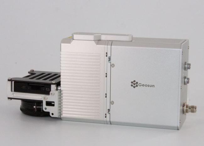
System Integration
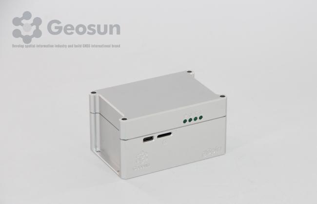
POS Data Post-Processing


Construction & Durability
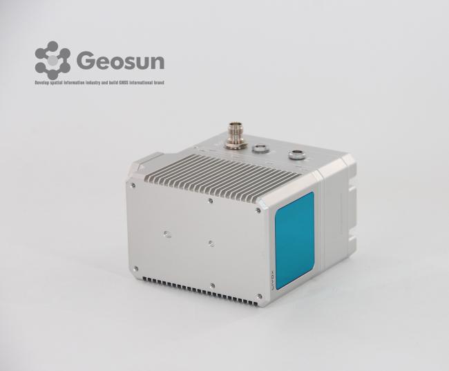
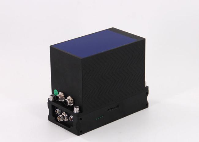
Features metallic cover construction for lightweight design and stable signal reception. Engineered with comprehensive waterproof, shockproof, and dustproof performance.
Similar Products
Get in Touch
Have questions about our products or want to discuss a custom order? Our team is ready to help you.
Company
Wuhan Geosun Navigation Technology Co., Ltd.
Location
Room 501–518, 5/F, Building 8, WISCO High-Tech Industrial Park, No. 5 Maodianshan Middle Road, East Lake High-Tech Development Zone, Wuhan, Hubei, China.
Contact Person
Lanbooxie