
HiScan-Z Mobile LiDAR Mapping System Equipment 119m Range 1mm@50m Range Accuracy
119m range HiScan-Z High-precision LiDAR Mobile Mapping System 0.0088° angular resolution and 1mm@50m range accuracy
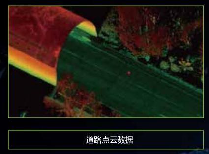
HiScan-Z high-precision laser mobile measurement system is a Z+F LiDAR based surveying and mapping equipment which developed by Wuhan Hi-Cloud Technology Co., Ltd.. The system highly integrates sensors such as 2D laser scanning equipment, satellite positioning module, inertial navigation unit, odometer, 360° panoramic camera, assembly control module and high-performance computers. It is encapsulated in a rigid platform, can be easily installed on cars, ships or other mobile carriers. During the high-speed movement of the carrier, it can quickly obtain high-precision positioning and orientation data, high-density point clouds and high-definition continuous panoramic image data.
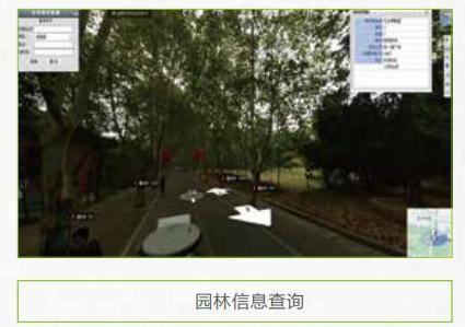
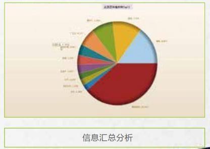
The system can easily complete the production and processing of vector map data, street view data and geographic data, and is widely used in basic topographic surveying and mapping, urban municipal components/garden census, traffic survey and design, traffic information census, street view map service, digital city and other fields.
Specification:
HiScan-Z High-precision LiDAR Mobile Mapping System
| Items | Parameters |
| Number of Scanners | 1 |
| Range Measurement | 119 m |
| Laser Frequency | 1,010,000 points/ s |
| Range Accuracy | 0.9mm@50m |
| Angle Measurement Resolution | 0.0088 ° |
| Scan FoV | 360 ° |
| Panoramic Camera | Ladybug/HD Camera (optional ) |
| Panoramic Camera Resolution | 30M / 75M pixels |
| Accuracy | 5cm@100m |
| Scan Speed | Max.200 scans/s |
Features:
- Integration: highly integrated, integrated solution.
- Calibration-free: calibration is independent of the carrier.
- High precision: high point cloud density, high point recognition rate, high measurement accuracy.
- High reliability: high degree of productization, stable and reliable system.
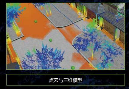
- High intelligence: seamless integration of point cloud and panorama.
- Easy installation: easy installation, no need to modify the carrier.
- Easy to transport: small size, easy to transport.
- Easy to store: pluggable data storage design.
Application:
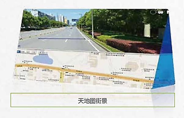
1. Internet street view map
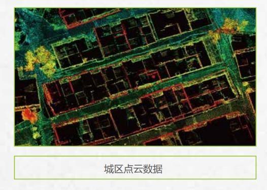
2. Basic topographic mapping
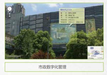
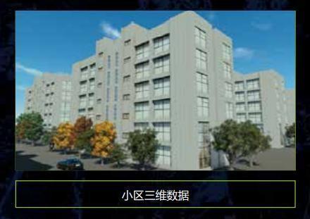
3. Urban municipal component survey
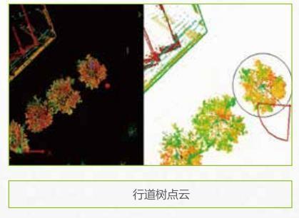
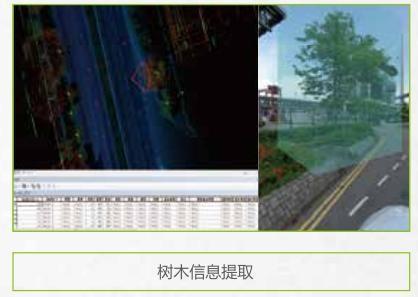
4. Urban landscaping survey
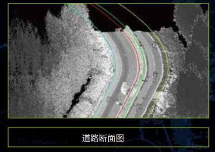
5. Highway survey and intelligent transportation
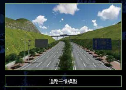
6. Digital 3D city
Get in Touch
Have questions about our products or want to discuss a custom order? Our team is ready to help you.