
CHC T11 GNSS RTK Receiver AR L2C L2P GPS Surveying Equipment
CHC T11 Dual-frequency Cheap Rtk 1408 Channels AR Survey GNSS GPS Receiver RTK
- Precise Location Measurement: The CHCNAV T11RTK GPS measuring instrument provides accurate location data with an initialize reliability of 99.99% and can measure up to 1408 channels, making it ideal for precise geodesic and GNSS RTK surveying applications.
- Durable and Water Resistant: With an IP68 rating, this instrument is waterproof and dustproof, ensuring it can withstand harsh environments and conditions, including extreme temperatures between -45°C to +75°C.
- High-Quality Video Output: The device features a 2MP and 5MP camera, capable of capturing high-quality video at a frame rate of 25Hz, allowing for detailed and accurate visual data collection.
- Customization Options: The CHCNAV T11RTK offers OEM customization support, allowing users to tailor the instrument to their specific needs and requirements.
- Long-Lasting Battery Life: Powered by a battery, this instrument provides a reliable and portable solution for extended surveying operations, with a battery life that meets the needs of users in various environments.
|
TECHNICAL PARAMETER
|
||
|
project
|
content
|
index
|
|
Satellite tracking
|
Satellite system
|
GPS+BDS+Glonass+Galileo+QZSS
|
|
Support Beidou three generations, support Five star 21 frequency point
|
||
|
Satellite tracking
|
BDS: B1I,B2I,B3I,B1C,B2a,B2b*
|
|
|
GPS: L1C/A,L1C,L2C,L2P,L5
|
||
|
GLONASS: G1,G2,G3
|
||
|
Galileo: E1,E5a,E5b,E6*
|
||
|
QZSS: L1C/A,L1C,L2C,L5
|
||
|
IRNSS: L5*
|
||
|
SBAS: L1C/A*
|
||
|
Channel
|
1408
|
|
|
Initialization reliability
|
99.99%
|
|
|
No network continued test
|
support
|
|
|
Signal acquisition sensitivity
|
Typical value -162 dbm, the ability to capture weak signals is stronger
|
|
|
Accuracy
|
Static accuracy
|
Planar accuracy:±(2.5mm + 0.5×10⁻⁶×D)mm
|
|
Elevation accuracy:±(5mm + 0.5×10⁻⁶×D)mm
|
||
|
RTK accuracy
|
Planar accuracy:±( 8mm + 1×10⁻⁶×D)mm
|
|
|
Elevation accuracy:±(15mm + 1×10⁻⁶×D)mm
|
||
|
Tilt compensation accuracy
|
8mm + 0.3mm /° tilt (accuracy <2.5cm within 30°)
|
|
|
Video measurement accuracy
|
Typical 2~4cm, measuring distance 2~ 15m
|
|
|
GNSS+ Inertial navigation
|
IMU update rate
|
200Hz
|
|
Tilt Angle
|
0-60°
|
|
|
Insensitive super inertial navigation
|
No initialization is required, the INS will not exit after initialization
|
|
|
User interaction
|
Pilot lamp
|
1 satellite light +1 differential data light +1 static indicator light +1 power light
|
|
key
|
Static switch button + Power/Confirm button
|
|
|
web page
|
Support PC/ mobile web page
|
|
|
camera
|
Characteristic function
|
Video measurement, efficiency increase by 60%*
|
|
3D modeling, double the efficiency of internal and external work *
|
||
|
AR real navigation, put a point not lost
|
||
|
Visual lofting, one stick in place
|
||
|
pixel
|
2MP&5MP
|
|
|
Frame rate
|
25Hz
|
|
|
Field of view (H, V)
|
75°,75°
|
|
|
illuminance
|
Starlight camera, OmniPixel 3-GS technology
|
|
|
Full color picture at 0.01lux
|
||
|
Physical characteristics
|
dimension
|
Φ133.5mm*80mm
|
|
physical properties
|
weight
|
725g (battery included)
|
|
material
|
Magnesium alloy
|
|
|
Operating temperature
|
-45℃~+75℃
|
|
|
Storage temperature
|
-55℃~+85℃
|
|
|
Waterproof and dustproof
|
IP68 (30 minutes underwater 1 meter immersion)
|
|
|
anticollision
|
IK08 (subjected to the same mechanical impact as the 2.5kg steel ram without damage, resistance to 3m drops)
|
|
|
anti-condensation
|
100%
|
|


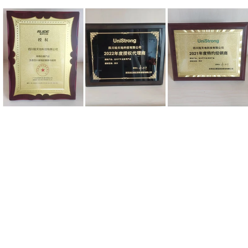
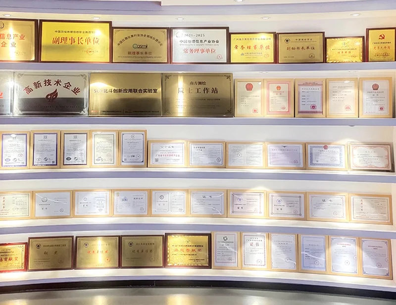
Certifications

FAQ
1. who are we?
We are based in sichuan, China, start from 2016,sell to Africa(30.00%),Southeast Asia(16.00%),Mid East(11.00%),Eastern
Asia(10.00%),South America(10.00%),Central America(5.00%),South Asia(5.00%),Southern Europe(5.00%),North America(4.00%),Eastern
Europe(4.00%). There are total about 11-20 people in our office.
2. how can we guarantee quality?
Always a pre-production sample before mass production;
Always final Inspection before shipment;
3.what can you buy from us?
GNSS RTK,Total station,Level,Survey accessory,laser rangefinder
4. why should you buy from us not from other suppliers?
1.More than 20 years of experience in the trade field. 2.All products will have been strictly quality checked in factory before
sending out and all products have one year warranty.
5. what services can we provide?
Accepted Delivery Terms: FOB,CFR,CIF,EXW,FAS,CIP,FCA,CPT,DEQ,DDP,DDU,Express Delivery,DAF,DES;
Accepted Payment Currency:USD,EUR,JPY,CAD,AUD,HKD,GBP,CNY,CHF;
Accepted Payment Type: T/T,L/C,D/P D/A,MoneyGram,Credit Card,PayPal,Western Union,Cash,Escrow;
Language Spoken:English,Chinese,Spanish,Japanese,Portuguese,German,Arabic,French,Russian,Korean,Hindi,Italian


Get in Touch
Have questions about our products or want to discuss a custom order? Our team is ready to help you.