
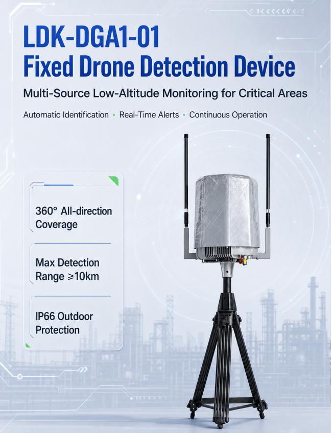
LDK-DGA1-01 Fixed Drone Detection 10KM 70MHz-6GHz Outdoor Low Altitude UAV Monitoring and Direction Finding Device
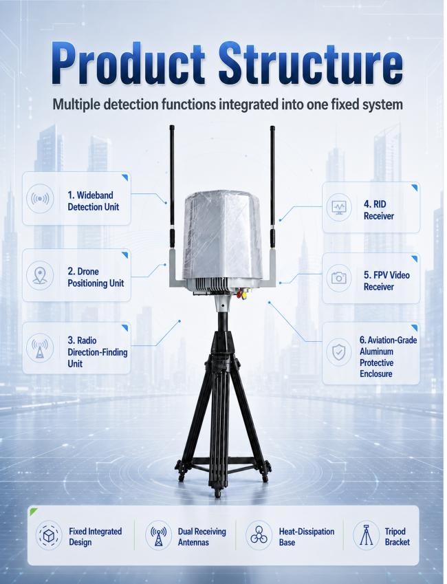
Designed for fixed installation, the system continuously scans supported aerial signals and presents available device information through an easy-to-use software platform. Its integrated design helps users monitor activity, review event records and manage multiple device statuses from one interface.
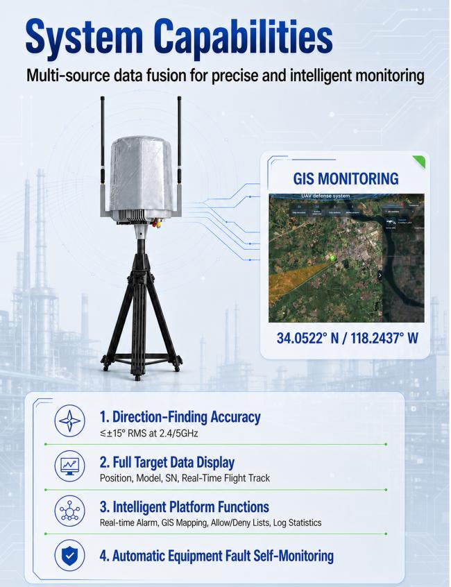
The platform includes GIS map display, real-time route visualization, event records, playback and statistical reporting. With IP66 protection and a working temperature range of -40°C to 60°C, the system delivers reliable operation in demanding outdoor environments.
Key Features
1.All-in-One Design
Signal scanning, direction finding and Remote ID reception in one device.
2. Improved Situational Awareness
Displays available aerial activity and route information on a GIS map.
3. Efficient Daily Operation
Supports automatic monitoring, event alerts and record management.
4. Wide Monitoring Range
Designed for long-distance outdoor monitoring under suitable conditions.
5. Easy Record Review
Supports event playback, historical records and statistical reports.
6. Reliable Environmental Performance
Built for outdoor operation in high and low temperatures.
7. Flexible Project Integration
Suitable for fixed sites and customized monitoring projects.
Technical Specifications
Model Number: LDK-DGA1-01
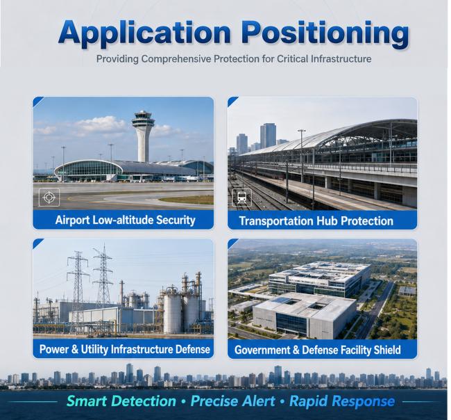
Application: Fixed low-altitude aerial monitoring
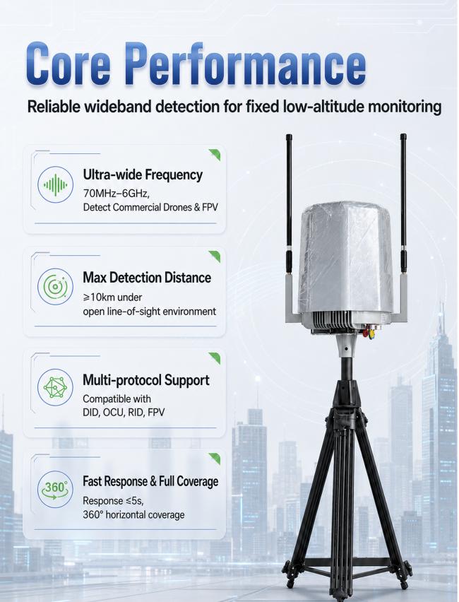
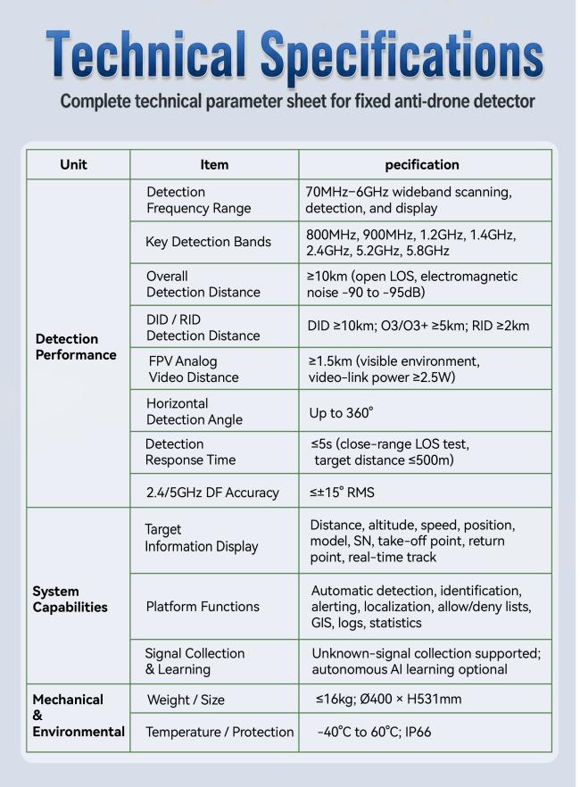
Signal Scanning Range: 70 MHz-6 GHz
Key Monitoring Bands: 800 MHz, 900 MHz, 1.2 GHz, 1.4 GHz, 2.4 GHz, 5.2 GHz and 5.8 GHz
Analog Video Monitoring Range: 500 MHz-6 GHz
Horizontal Monitoring Angle: 360°
Maximum Monitoring Distance: Up to 10 km
Remote ID Reception Range: Up to 2 km
Analog Video Signal Range: Up to 1.5 km
Typical Response Time: Within 5 seconds
Direction Finding Accuracy: ≤±15° RMS at 2.4/5 GHz
Displayed Information: Location, altitude, speed, direction, identification details and route
Software Functions: GIS map, event records, playback, reports and device status managementIngress
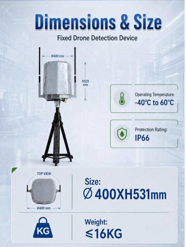
Protection: IP66
Operating Temperature: -40°C to 60°C
Product Size: Diameter 400 × Height 531 mm
Product Weight: ≤16 kgInstallation
Method: Fixed outdoor installation
Picture image

Q1: Where can the system be installed?
A: It is designed for fixed outdoor locations.
Q2: Can it show real-time routes?
A: Yes, route information can be displayed for supported signals.
Q3: Can previous events be reviewed?
A: Yes, record playback and reports are supported.
Q4: What is the operating temperature?
A: It operates from -40°C to 60°C.
Q5: Can device status be monitored?
A: Yes, the platform displays operating and offline status.
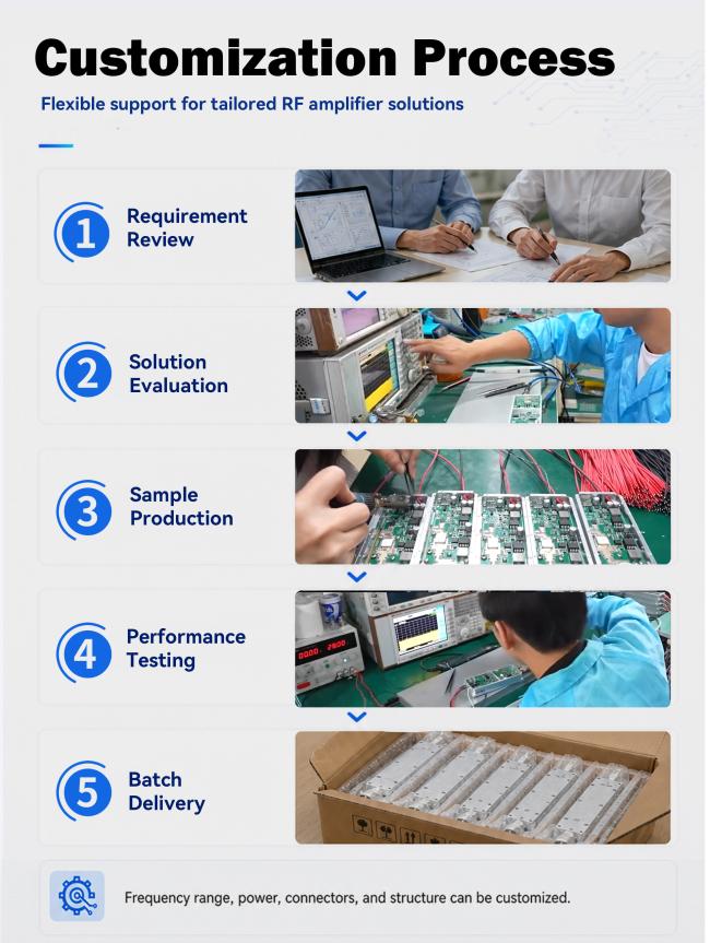
Q6: Is customization available?
A: Yes, configurations can be adapted to project requirements.
Get in Touch
Have questions about our products or want to discuss a custom order? Our team is ready to help you.