
DJI M4T Enterprise Drone With Infrared Thermal Imaging Function Image Transmission Distance 15km
Dji Thermal Industrial Drone DJI M4T Enterprise Drone With Infrared Thermal Imaging Function Image Transmission Distance 15 Kilometers
1.Product Description
DJI Matrice M4T (DJI Matrice 4T) is a high-end drone for industry applications. It is famous for its powerful multi-sensor fusion ability and intelligent operation function. It is suitable for power inspection, emergency rescue, public safety and other complex scenarios.
2.Product Technical Parameters
1,Bare machine weight (with blades):DJI Matrice 4T:1219g
2,Maximum take-off weight:1430g
3,Size:Folding (with no paddle): length 307 mm, width 387 mm, height 149.5 mm
4,Unfold (withless paddle): 260.6 mm long,113.7mm wide, 138.4mm high
5,The maximum rising speed:8 meters/second (sports gear)
6,The maximum descending speed:6 meters/second (sports gear)
7,Maximum take-off altitude: 6000m
8,The longest flight time:49 minutes
9,The longest hover time:46 minutes
10,Maximum battery life:35 kilometers
11,Image sensor:1/2" CMOS, effective pixels 48 million
12,Camera lens:Equitant focal length: 24 mm
13,ISO scope:100 to 25600
14,Photo shooting mode:Single shot: 12-megapixel/48-megapixel
15,Telephoto camera:1/3" CMOS, effective pixels 48 million
16,Thermal imaging camera:Uncooled vanadium oxide (VOx)
17,Temperature measurement method:Point/regional temperature measurement
18,Digital zoom:16 times
19,Infrared wavelength: 8 microns to 14 microns
20,Yuntai: Three-axis mechanical gimbal (pit, transverse roll, translation)
21,Type of perception system: Omni-way binocular vision system, supplemented by infrared sensor at the bottom of the fuselage
3.Product Specifications
|
Model NO. |
Dji Matrice 4T |
Usage |
Industrial |
|
Camera |
Infrared thermal imaging |
Flight altitude |
6000m |
|
Max Flight Time |
49Minutes (with Intelligent Flight Battery) |
Max Hovering Time |
46minutes (with Intelligent Flight Battery) |
|
Max Flight Distance |
15 Miles/25Miles |
Global Navigation Satellite System |
GPS + Galileo + Beidou |
|
Specification |
Factory-packed |
Warranty period |
One-year |
4.Product Industry application
1.Electricity inspection :Remote high-definition shooting and infrared imaging: remote detection of high-voltage lines, substations and distribution equipment can be carried out to detect hidden dangers such as line aging, damage and overheating in time.
2.Emergency rescue :Water rescue: Equipped with searchlights and shouters, it can locate trapped people at night or in complex environments and provide lighting support.
3.Public safety and traffic monitoring AI identification: built-in human, vehicle and ship target detection model, support real-time identification and intelligent tracking
4.Monitoring of water conservancy and forestry Reservoir dam and embankment crack detection: through high-definition camera and lidar scanning, quickly detect hydrology changes and structural risks
5.Refined surveying and mapping Close-up photography: support the fine measurement and modeling of alien buildings, and the rough mold generation can be completed in one field operation.
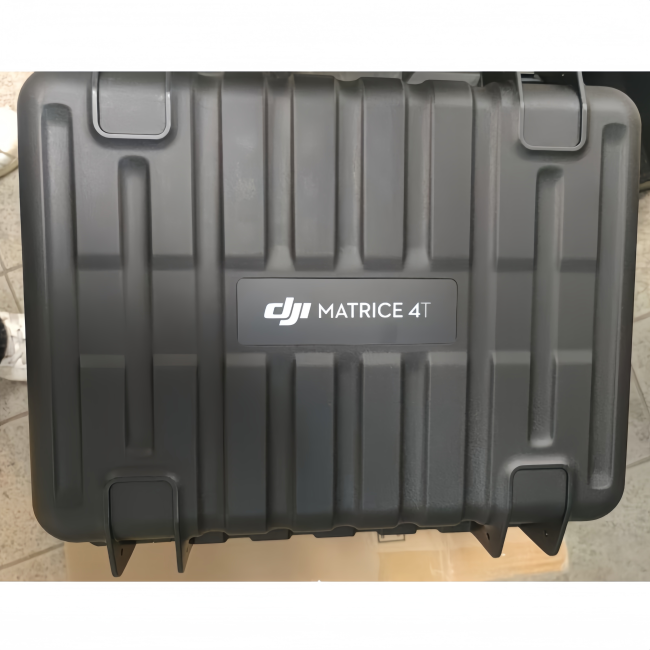
5.Product detail display


Get in Touch
Have questions about our products or want to discuss a custom order? Our team is ready to help you.